Environmental & Science Education
STEM
Earth Science
Geology
Nature of Science
Edward Hessler
Volcanoes
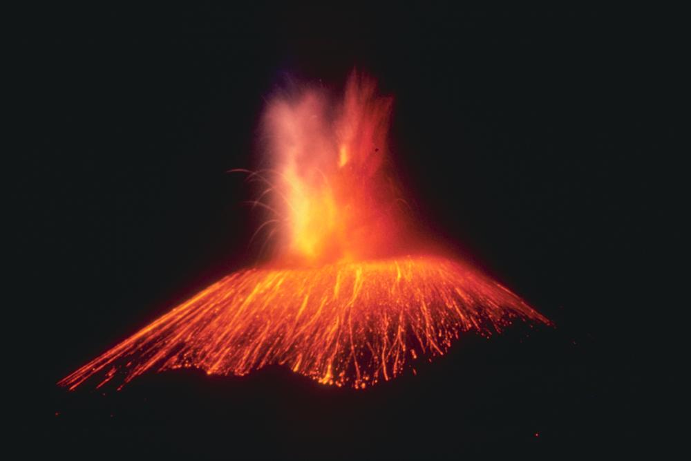
There is always more to know about the natural world, especially natural hazards. NPR's Maddie Sophia calls attention to an obvious example: volcanic eruptions.
Volcanoes are not easy to study, are dangerous and the conditions of volcanic events are not predictable. Sophia reports on one method to study them: volcanic simulations that involve physical processes.
A (safe) place to do this is at the University of Buffalo's Geohazards Field Station, a location dedicated to large-scale ("too large for a lab") experiments on hazardous processes. Volcanoes meet that criterion.
You can read Sophia's report here which includes a video of scientists doing some manageable experiments under controlled conditions. One of the features that appeals to me about these experiments is learning how earth scientists design experiments to better understand how volcanoes work.
Wildfires
 In late June 2019 forest fire researchers will study a large fire (900 hectares or ~2224 acres) from ignition to fire's end.
"If all goes to plan," Alexandra Witze reports in the scientific journal Nature, "a helicopter will hover above a thickly forested slope in Utah and set it ablaze. the goal is to clear out dead conifer trees to allow quaking aspen (Populus tremuloides) to regain a foothold in this high-altitude national forest."
The Fire and Smoke Model Evaluation Experiment will study this fire through the use of drones, radar and other equipment. "Researchers plan to monitor every step--from mapping the types and nunmber of trees that will burn, to measuring how much of that fuel actually gets consumed during the fire. ... Tripods laden with instruments will video-tape the flames and measure the temperature as the forest burns. Laser and radar equipment will probe the shape and density of the smoke plume as it rises, while a series of drones will attempt to fly directly into the plume."
One of the research questions is about how plumes form and evolve while "the detailed inventory of the fuel on the ground should reveal how the quantity of fuel burnt translates to smoke produced. The amount of smoke, and what noxious chemical it contains, depends on the types of trees or shrubs that are burning." Additionally, the drone will collect data from "smoke at night-time--when its chemistry changes, and it cools and sinks, meaning that people can more readily breathe it in."
Witze's essay about this research may be found here. It includes more details as well as information on other studies this year designed "to gather data from wildfires in western North America as they happen."

No comments:
Post a Comment